Culpeper Creek
Greene County, AL

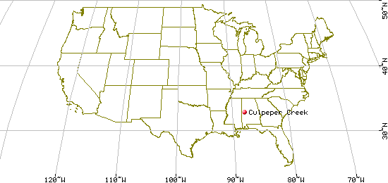
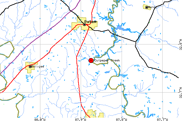
In Greene County, about 40 miles southwest of Tuscaloosa, crossed by US-43
about 5 miles south of Eutaw, and runs east from there to the Black Warrior River.
| Variant Name(s) |
Zion Creek |
| USGS 7.5' x 7.5' Map: |
Eutaw |
| Latitude: |
32.45.57 N |
| Longitude: |
87.52.31 W |
Last Revised:
02 Jan 2015
|
