Culpeper Branch
Union County, AR

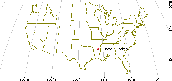
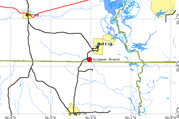
In Union County, about 30 miles ESE of El Dorado, the road south from
Huttig into Louisiana crosses Culpeper Branch just before the state line. AKA Cubby Creek.
| Variant Name(s) |
Cubby Creek |
| USGS 7.5' x 7.5' Map: |
Huttig |
| Latitude: |
33.00.50 N |
| Longitude: |
92.12.11 W |
Last Revised:
02 Jan 2015
|
|
